GEOMATICS CONSULTANTS CANADA
The Art of Precision. The Science of Surveying.
Founded in 2016 by an award-winning industry expert, Geomatics Consultants Canada is revolutionizing the geomatics mapping space.
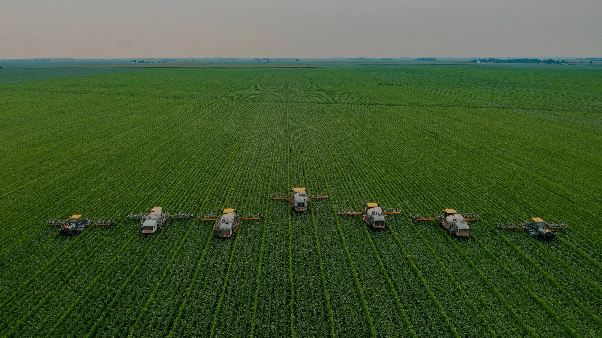
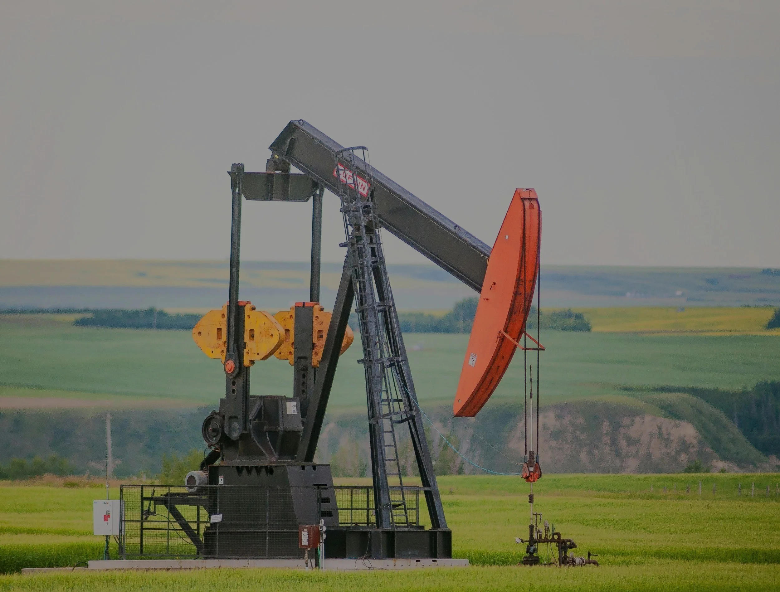
We offer a full-service mapping and imaging service for various industries from infrastructure to agriculture to energy.
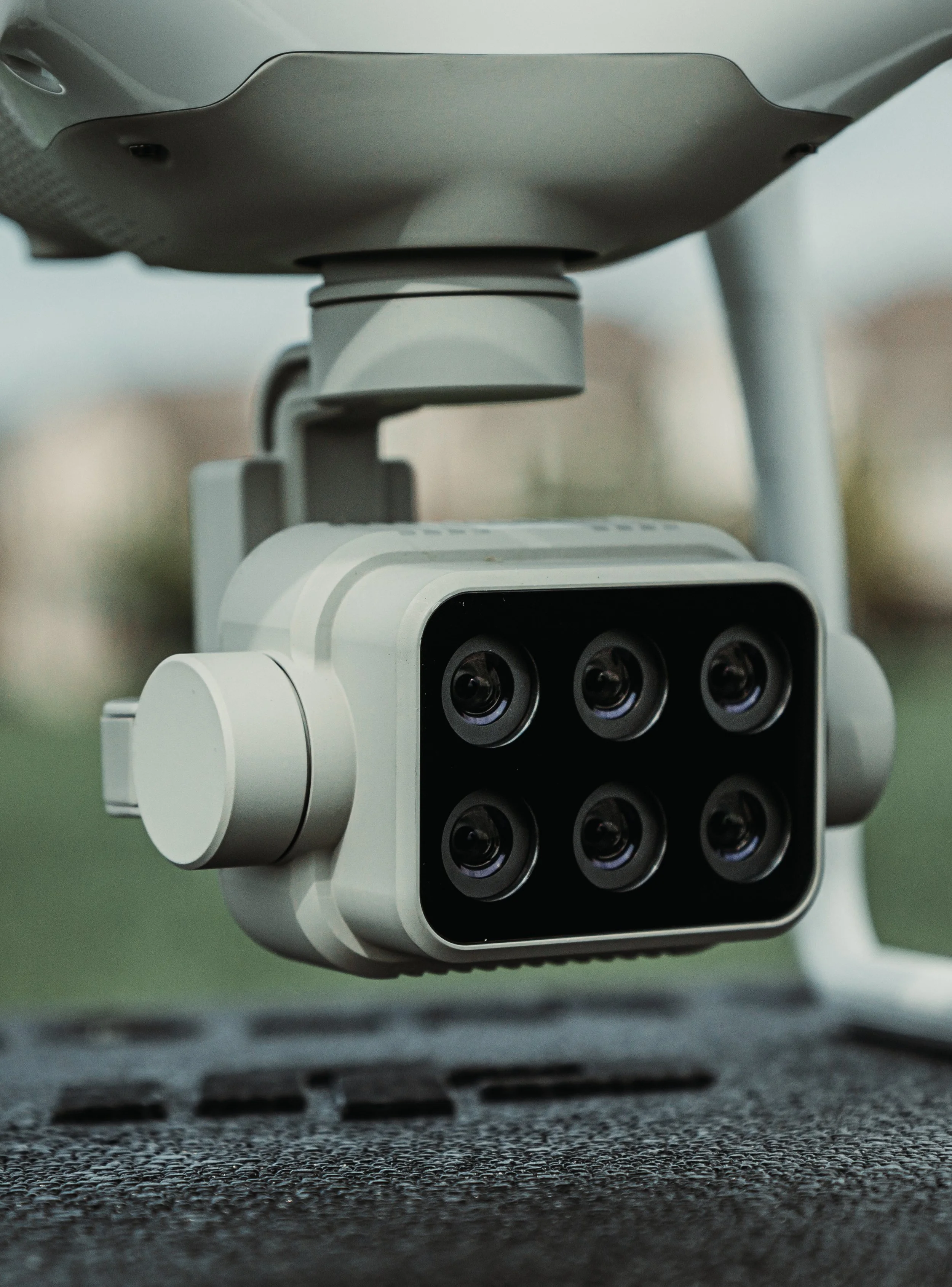
Or maybe, you want to do the mapping yourself. In which case we offer our patented and universal (drone, vehicle, and stationary) Multi-Purpose Laser System for purchase or rent.

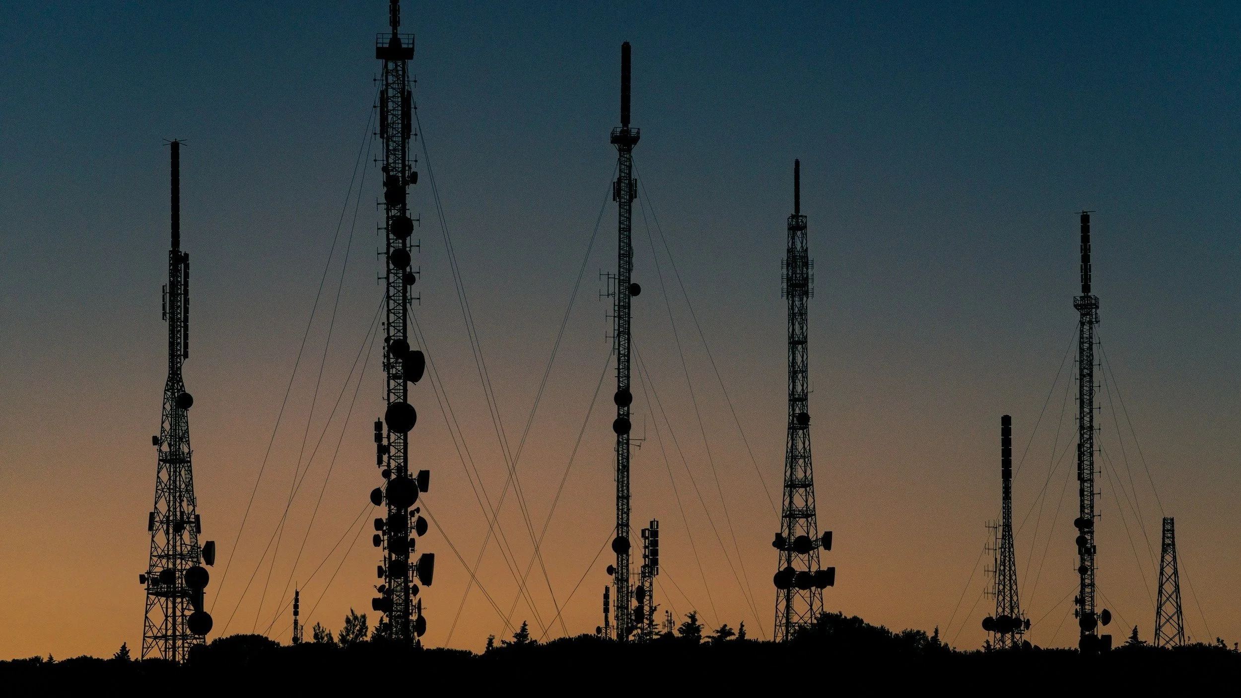
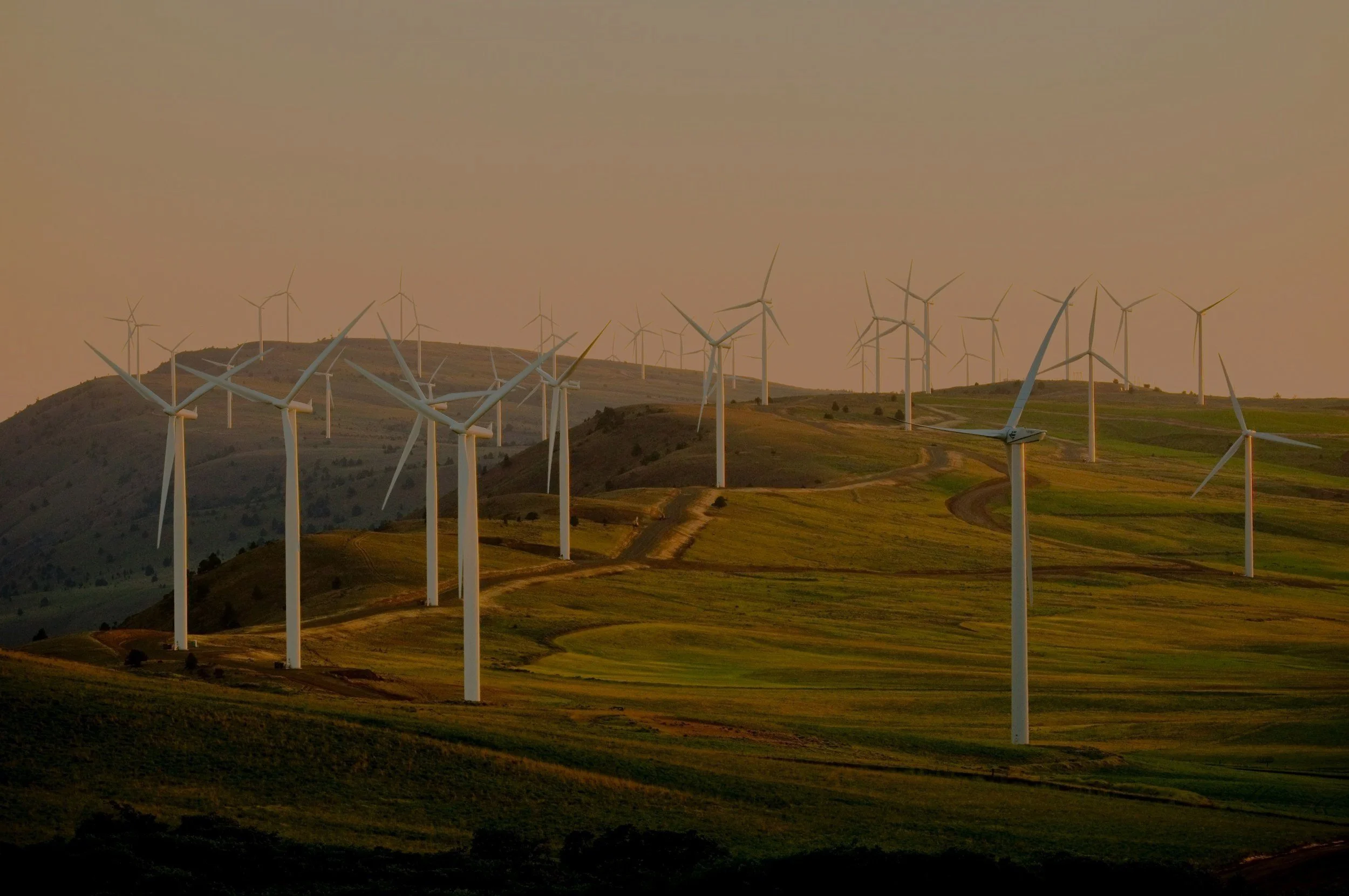
Our Industries

Our Services
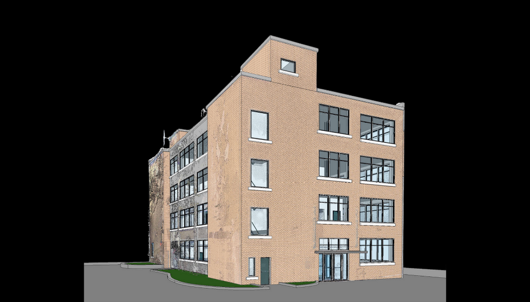
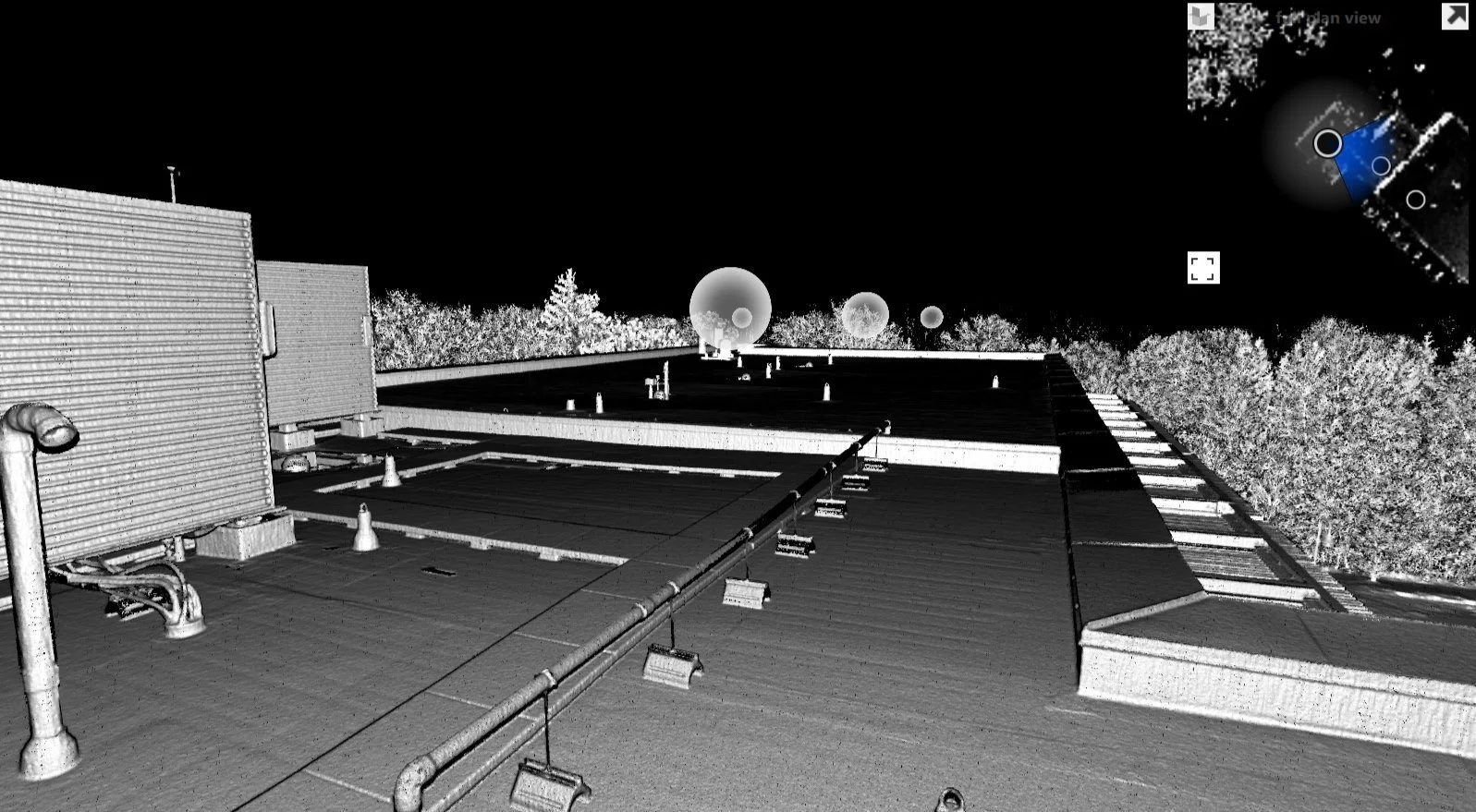
BIM Applications
Providing end-to-end BIM services, from data collection using advanced technologies to the generation of detailed and accurate BIM models.

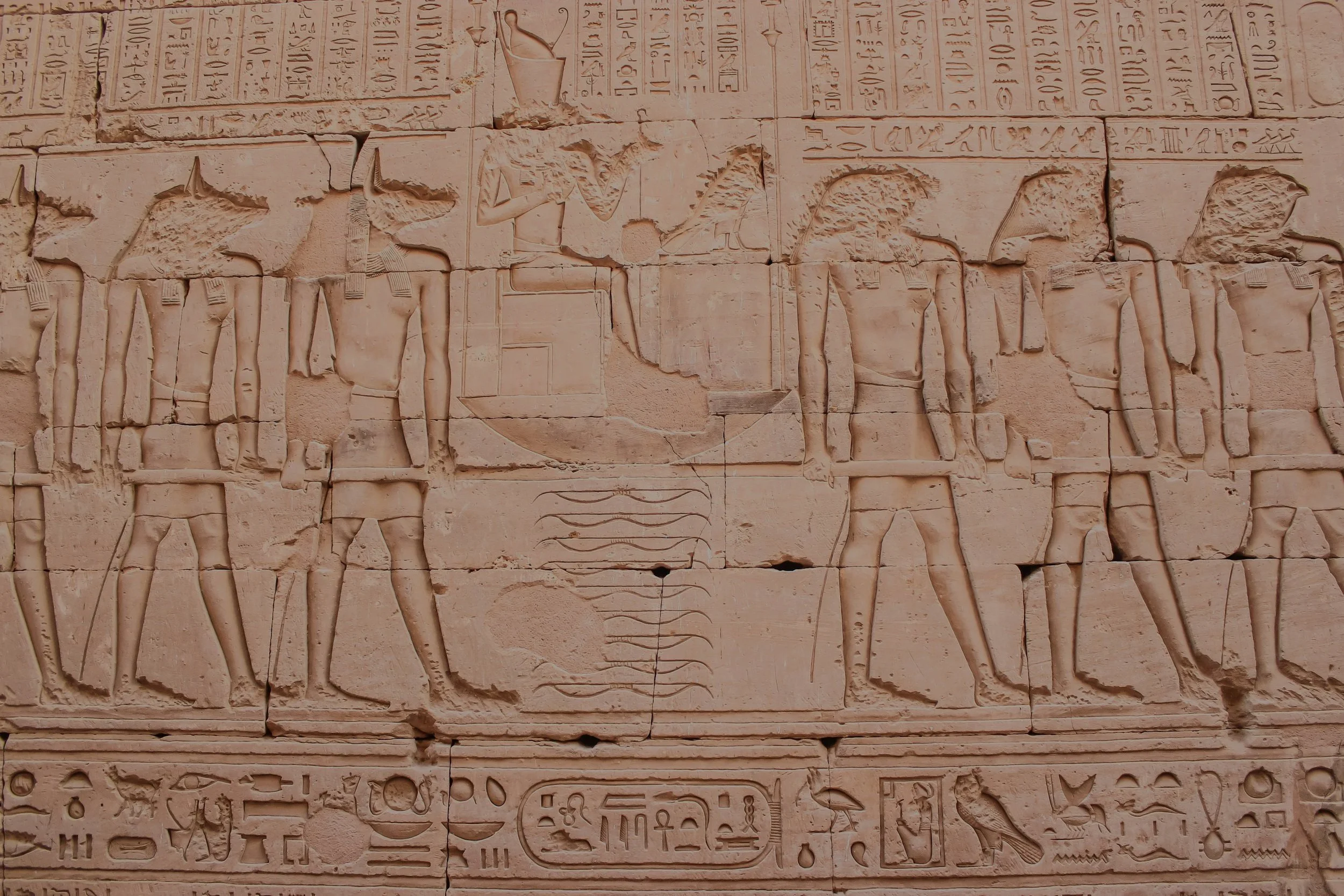
Heritage Documentation
Recording and preserving historical and cultural sites through advanced mapping and imaging techniques for future generations.
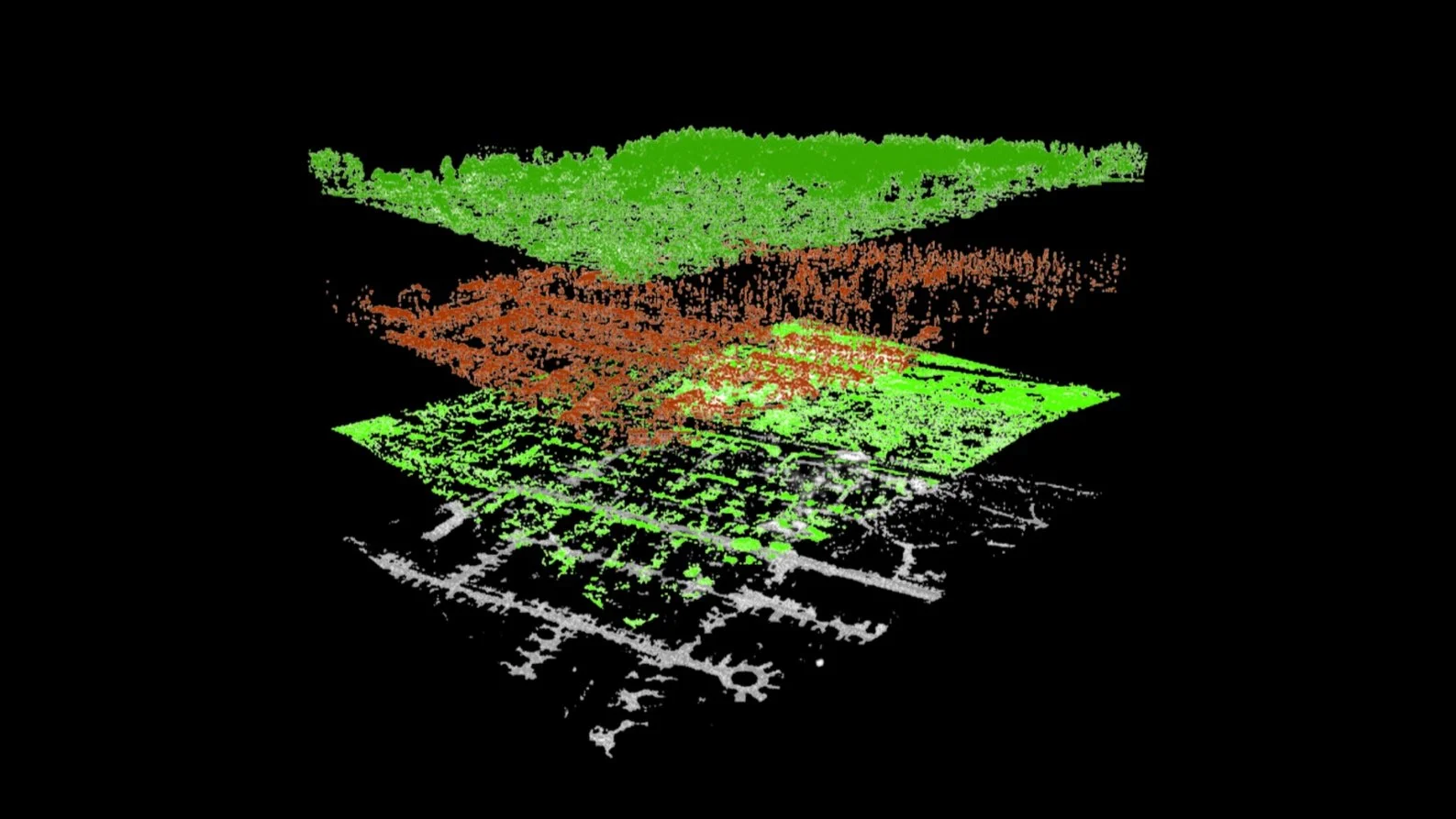
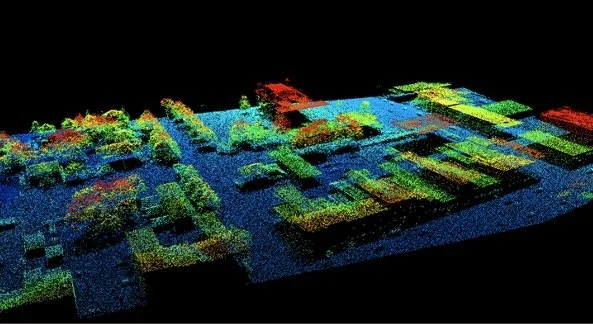
Data Classification
Utilizing advanced techniques to categorize and analyze geographical areas and datasets for targeted land use planning and resource management.
System Realization
The process of bringing complex geospatial systems from concept to operational reality, integrating advanced technologies to meet specific mapping and analysis needs.
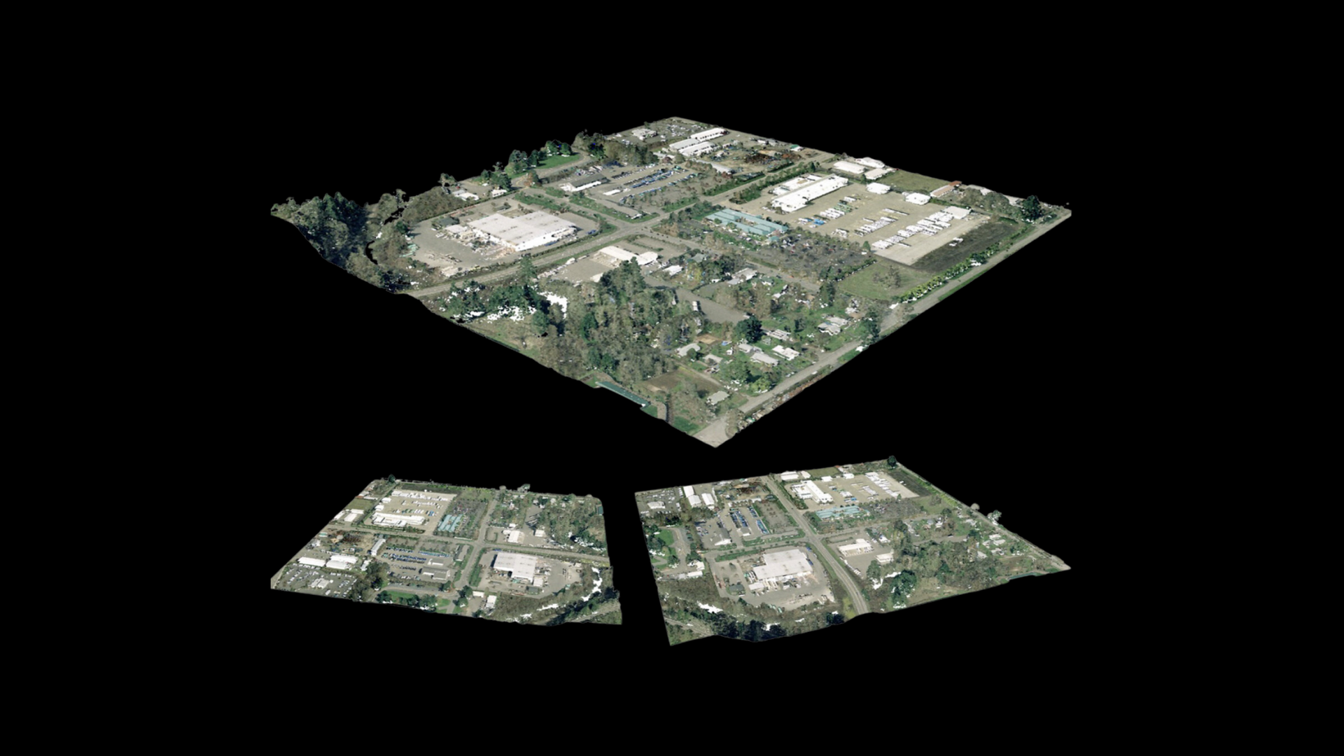
3D City Modelling
Creating detailed, three-dimensional representations of urban areas for enhanced planning, visualization, and simulation of cityscapes.
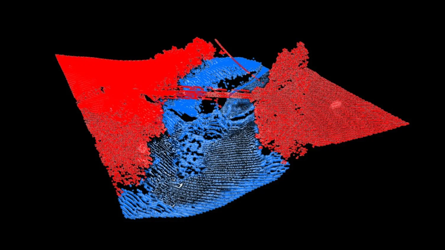
Data Integration and Fusion
Combining diverse geospatial datasets into a cohesive, comprehensive format for enhanced accuracy and insight in mapping and analysis.
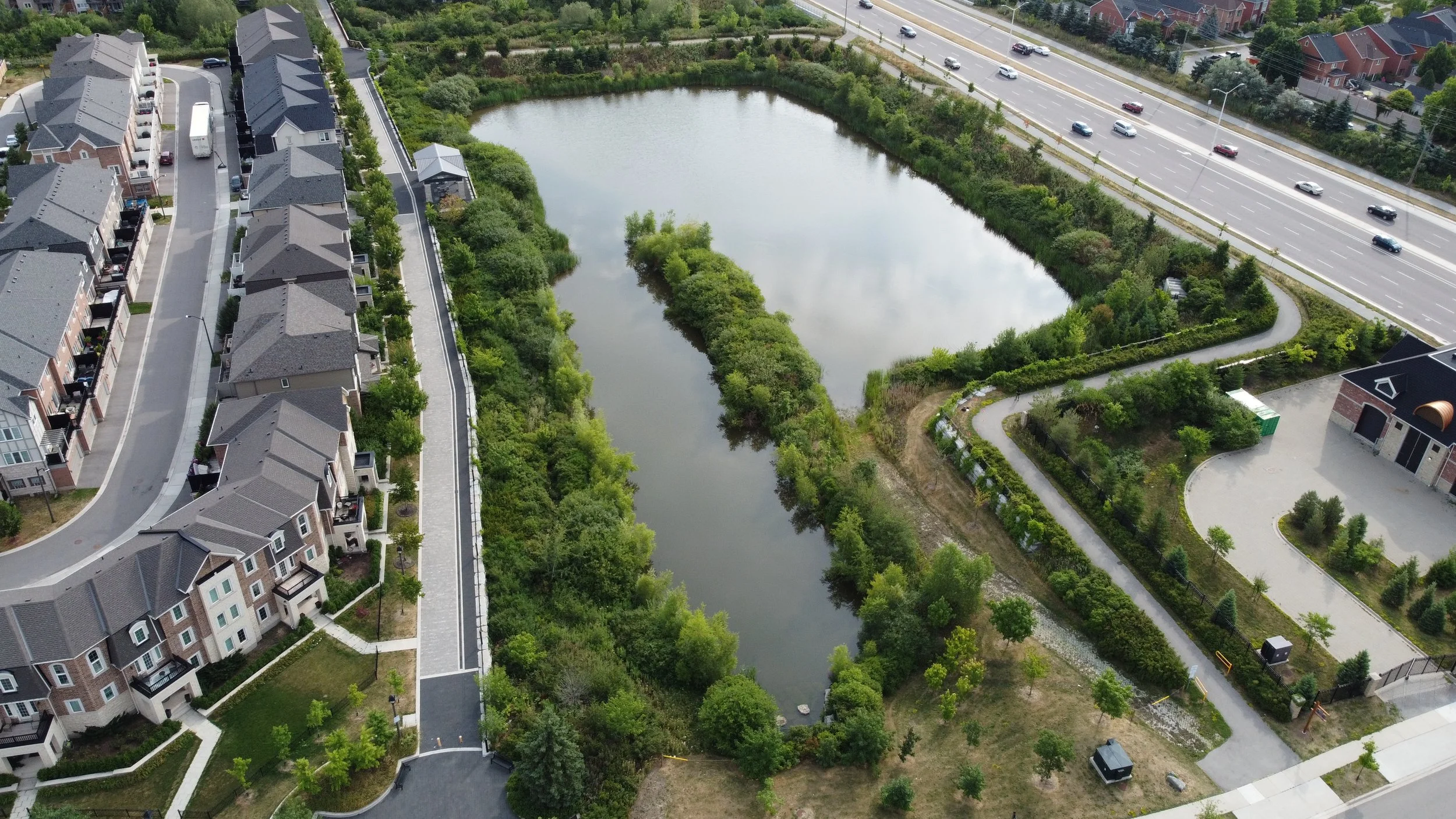
Land / Water Delineation
Use advanced mapping to distinguish land from water for environmental, infrastructure, and commercial uses.